One weak node breaks the chain.
Detection, navigation, classification and action run as a chain. One stage that degrades in new conditions takes the whole mission with it.
Mission compromised
Generate a mission world from a sentence or a map coordinate. Put your autonomy stack inside it. Change the conditions until something breaks, before the field does it for you.
A system that passes every controlled test can still fail on unfamiliar terrain, targets, weather or sea state. Testing every combination in the field takes time no program has.
Detection, navigation, classification and action run as a chain. One stage that degrades in new conditions takes the whole mission with it.
Conventional simulation can leave gaps in sensor realism. Field tests add fidelity, but take time and resources to repeat.
Models trained on yesterday's conditions meet new terrain, new targets and new weather on the day it matters.
Mission worlds built in minutes, rendered for your sensor, and repeatable on demand.
Choose the aerial or maritime platform, with its sensor payload and flight characteristics. ATLAS connects to your existing autonomy stack without needing its source code.
Type a setting and ATLAS generates the terrain and structures, ready to navigate. No scene is built by hand.
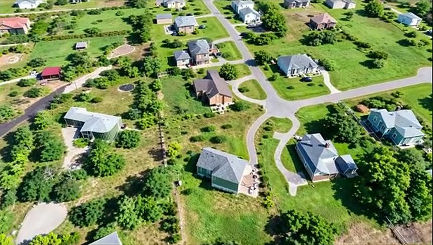
> ukrainian villagePick real coordinates. ATLAS uses terrain and building data to build a world tied to the intended operating area.
> select area on mapUpload an image of a target. ATLAS returns a scaled 3D mesh that you can place in the scene and assign a route.
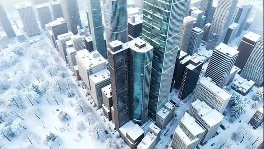
> shahedWeather, light and visibility change on command. Geometry, actors and routes stay fixed, so each run is a controlled experiment.
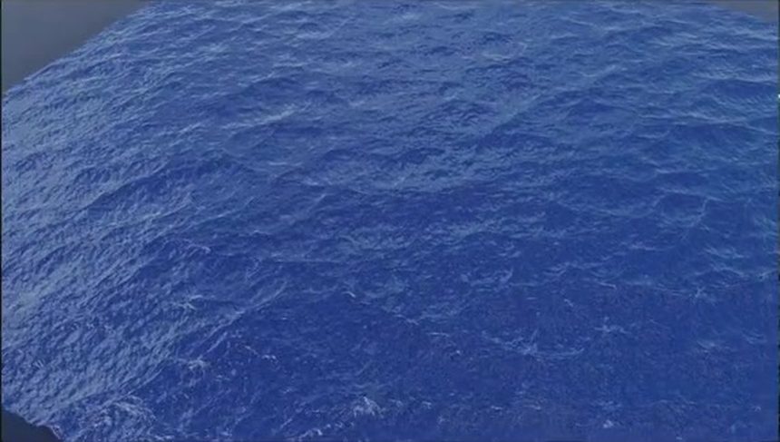
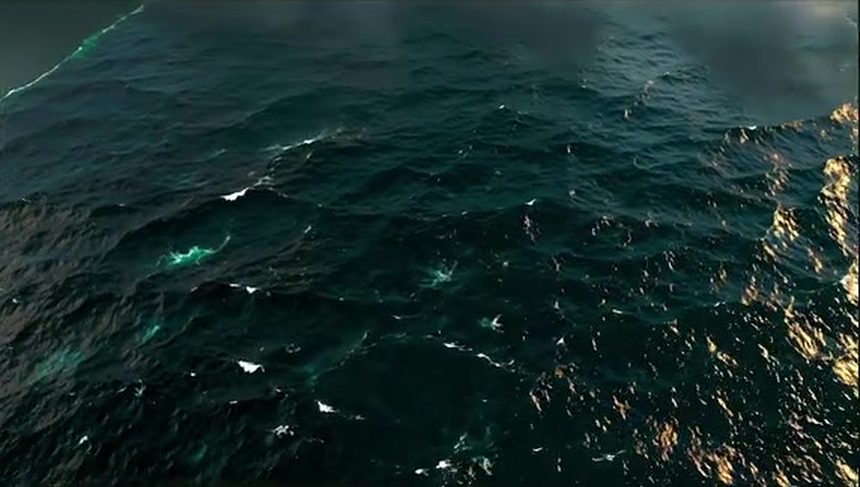
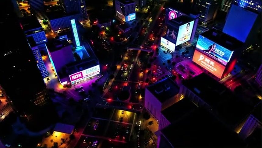
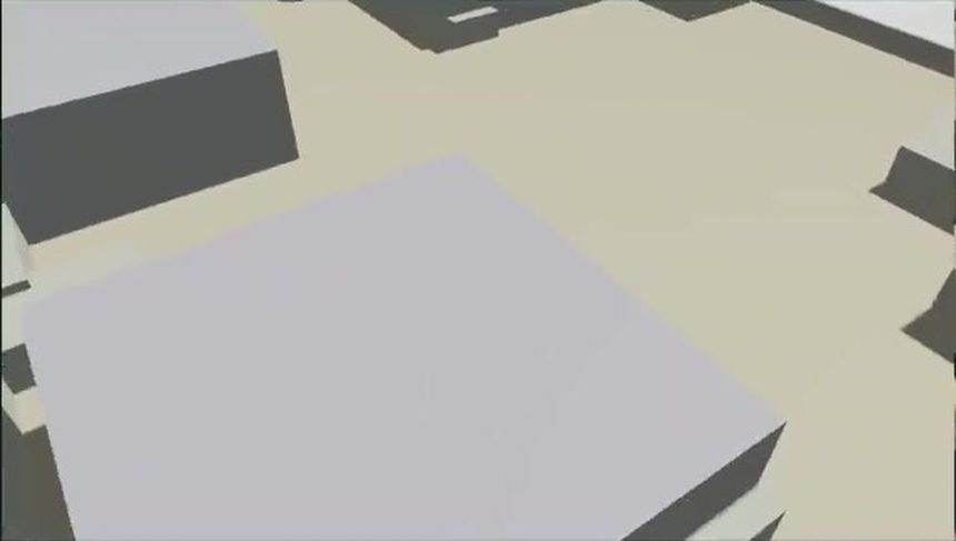
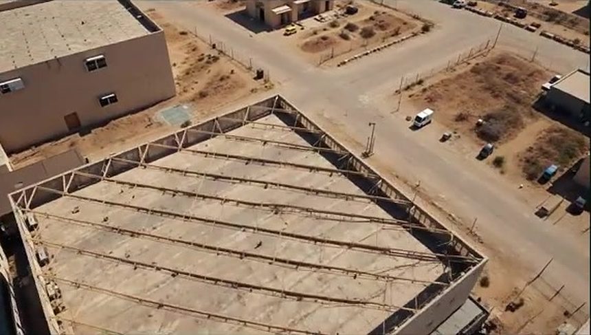
Every frame comes with three matched views: what the sensor sees, the simulation behind it, and the distance to every pixel. Shown here at sea, where ATLAS also models waves, sea state and buoyancy.








Automatic fine-tuning of the perception model to a new environment.
A short mission description and a handful of example images.
Visible (EO) and thermal (IR), with radar (SAR) in beta and RF in alpha. Rendered to match each sensor.
Every object labeled in every frame, exported in standard formats (COCO, Pascal VOC) or yours.
Runs in AWS, AWS GovCloud, or air-gapped on an edge device.
Connect your autonomy software through the API. Your code stays with your team.
Specifications from the ATLAS product overview. Adaptation time depends on the domain, inputs, and compute configuration. SAR is in beta; RF is in alpha.
 Government acquisition
Find ATLAS in CDAO's marketplace and work with your acquisition office on the right procurement path.